
News, views and advertising of the Grand Coulee Dam Area
News, views and advertising of the Grand Coulee Dam Area
Wear hats and gloves
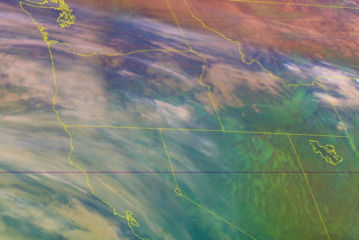
An Air Mass RGB image from the GOES R satellite. The Air Mass RGB can distinguish between polar and tropical air masses, especially along upper-level frontal boundaries and identify high-, mid-, and low-level clouds. You can click/tap the image to take you to a selection of the view with various instruments and uses.
The National Weather Service in Spokane has issued a wind chill advisory for this region warning that skin should be covered outside to avoid freezing or frostbite. Below is the complete text.
URGENT - WINTER WEATHER MESSAGE
National Weather Service Spokane WA
231 AM PST Mon Dec 19 2022
...SNOW AT TIMES THROUGH WEDNESDAY MORNING PLUS COLD WIND CHILL VALUES...
Light snow will slowly wane this morning across southeast Washington and the lower Idaho Panhandle. A second storm system
will arrive Tuesday and continue into Wednesday with potential for heavy snow over the Cascades, northeast Blue Mountains, Palouse, and Central Panhandle Mountains into Wednesday morning.
Wind chills: Strong north winds of 15 to 30 mph will create very cold wind chill values in the Okanogan Valley and on the Waterville Plateau with wind chills near minus twenty degrees. Wind chills near minus fifteen degrees will impact portions of the Western Columbia Basin. Even colder wind chill values are possible by midweek in this area.
WAZ034-035-192300- /O.EXB.KOTX.WC.Y.0003.000000T0000Z-221219T2300Z/
Moses Lake Area-Upper Columbia Basin-
Including the cities of Odessa, Ephrata, Harrington, Othello,
Creston, Wilbur, Quincy, Grand Coulee, Coulee City, Ritzville,
and Moses Lake
231 AM PST Mon Dec 19 2022
...WIND CHILL ADVISORY IN EFFECT UNTIL 3 PM PST THIS AFTERNOON...
* WHAT...Very cold wind chills. Wind chills as low as 10 to 15 below
zero.
* WHERE...Odessa, Ephrata, Harrington, Othello, Creston, Wilbur,
Quincy, Grand Coulee, Coulee City, Ritzville, and Moses Lake.
* WHEN...Until 3 PM PST this afternoon.
* IMPACTS...Exposed skin may become quickly frostbitten or frozen.
The dangerously cold wind chills could result in hypothermia or
frostbite if precautions are not taken.
PRECAUTIONARY/PREPAREDNESS ACTIONS...
Use caution while traveling outside. Wear appropriate clothing, a hat, and gloves.
Reader Comments(0)